Mapping services and facilities in Tanzanian and Ugandan host communities through satellite and crowd-sourced data
Key information
Country/ies
Region/s
Data sources
Summary
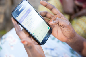
The project aims to map the infrastructure and services where refugees and host communities reside in Tanzania and Uganda. Using open-source technical tools, a community-based methodology and satellite data, the project identifies vital services and focal points, such as water, health, and education facilities. It also trains community actors to incorporate citizen-generated data into the map to address and fill existing gaps.
Results
The maps regarding Uganda are available through OpenStreetMap. This project can be replicated in areas with a need to map new focal points. Each project should consider the training for the local mappers and the map users, as well as the technical equipment and infrastructure for its implementation.
Last modified
16 Mai 2022
Partners
Relevant SDGs
Relevant GCM Objectives
Contact
Website:


